

Hurricane Helene hit the Florida Big Bend area on Thursday, September 26th, and has brought catastrophic levels of flooding to many areas of the Southeast.
While Orlando was spared the most intense parts of the storm, just getting some of the outer bands, heavier levels of damage have been seen in northern Florida, southern Georgia, Tennessee, and North Carolina specifically. While this storm has been called a “once in a generation storm” by some due to its levels of impact in so many areas, hurricane season is far from over, and it seems more storms are brewing out in the Atlantic Ocean.
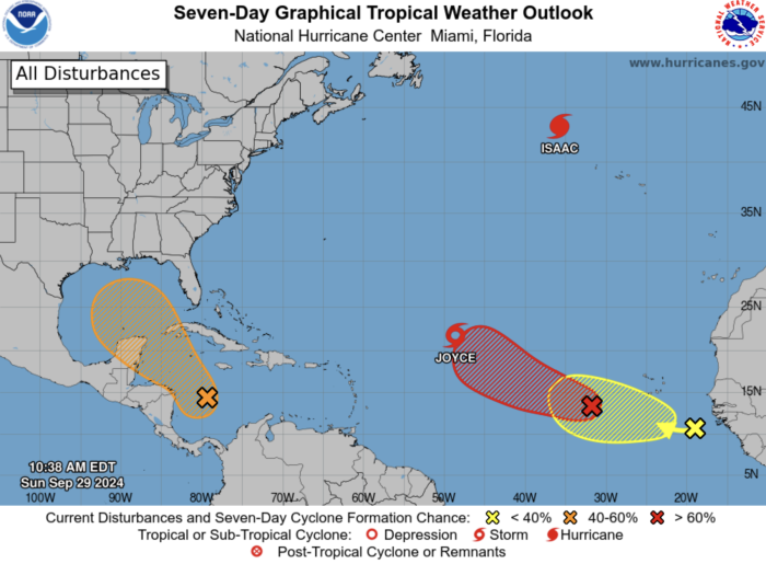
The National Hurricane Center has shared a new graphic that’s tracking FIVE potential new storms brewing out in the Atlantic Ocean. One of these is a disturbance located in the Caribbean and moving toward the Gulf of Mexico, which could impact the U.S. over the next few days.
Let’s break them down, starting from left to right:
- Disturbance 2 has a 50% chance of developing into a cyclone in the next 7 days. It is said to be “producing disorganized showers and thunderstorms. Environmental conditions appear to be conducive for gradual development, and a tropical depression could form around the middle part of this week while the disturbance meanders towards the west-northwest. This system is then expected to move northwestward into the Gulf of Mexico during the latter portion of this week, and interests in the northwestern Caribbean Sea and along the U.S. Gulf Coast should monitor its progress.”
- Tropical Storm Joyce is expected to move further north in the coming 3 days and dissipate, and isn’t expected to head toward land (see graphic below)

- Hurricane Isaac is expected to continue northeast and mostly dissipate before hitting land — some outer bands could be seen hitting the south and southeast sides of Iceland (see graphic below).

- Disturbance 1 has a 80% chance of chance of developing into a cyclone in the next 7 days. It currently is located “a few hundred miles west-southwest of the Cabo Verde Islands” and has “become better organized since yesterday. Environmental conditions are conducive for gradual development of this system, and a tropical depression is likely to form during the early or middle part of this week while the system initially moves westward and then northwestward across the eastern and central tropical Atlantic.“
- Disturbance 3 has a 20% chance of becoming a cyclone in the next 7 days and is currently “a tropical wave located near the coast of western Africa” and is “producing limited shower activity. Some gradual development of this system is possible during the next several days while it moves slowly westward or west-northwestward over the eastern Atlantic Ocean.”
You know I’m not a hype person… but I do want to share this.
Solid support on models something wants to form- but the path isn’t set in stone.
I want to be sure to post so you watch- and follow along with the tropics again this week.
I know- I’m exhausted. You’re exhausted.… pic.twitter.com/vHnkOmIONK
— Eric Burris (@EricBurrisWESH) September 28, 2024
Out of these disturbances, it’s most likely that Disturbance 2 could pose the greatest threat to the Unit,ed States and Mexico within the next week. We’ll be sure to keep you updated on all the latest news we hear, so stay tuned to AllEars.
How Disney World Prepares for Hurricanes…from the Skyliner to Characters to 24/7 Storm Teams
Join the AllEars.net Newsletter to stay on top of ALL the breaking Disney News! You'll also get access to AllEars tips, reviews, trivia, and MORE! Click here to Subscribe!

Have you ever been to Disney World during a tropical storm or hurricane? Tell us in the comments!


Trending Now
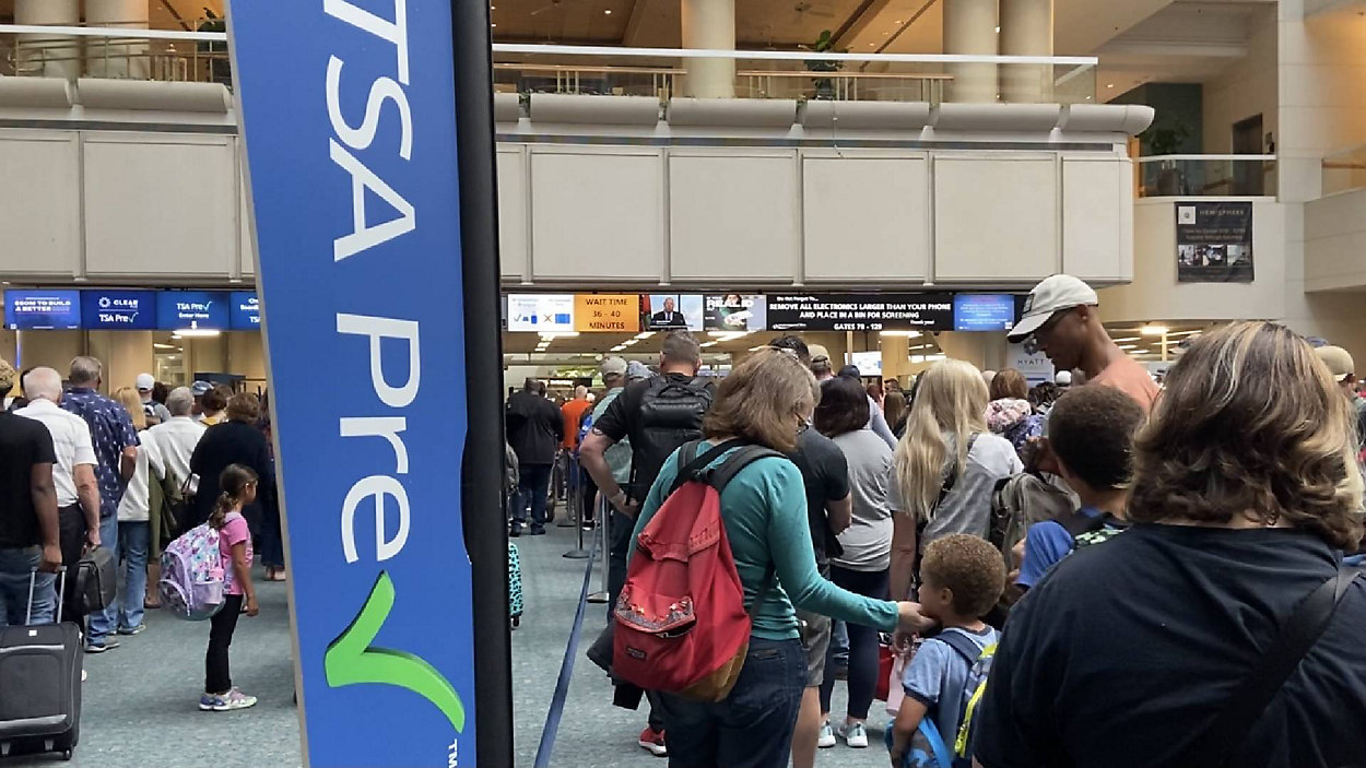
TSA just banned an essential travel item from checked luggage!
Believe it or not, it is possible to make a day at EPCOT even better!
Don't forget about this change coming up for Disney World hotel guests!
Six Flags has just announced that they're CLOSING on of their theme parks entirely this...
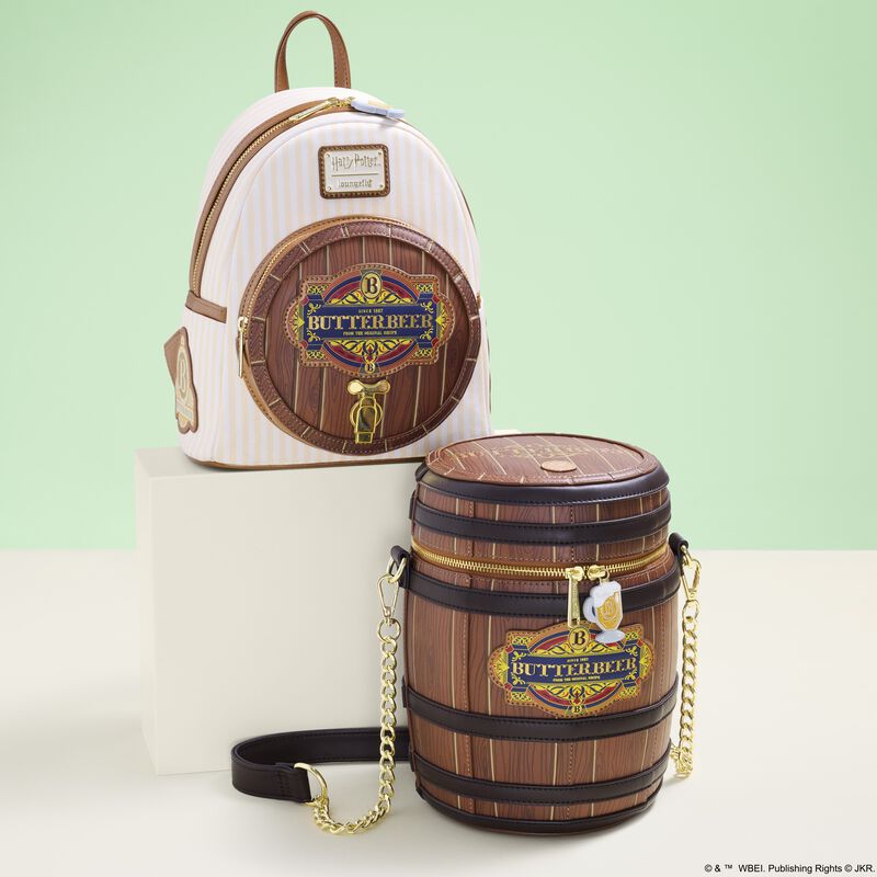
If you adore Butterbeer from Harry Potter as much as we do, these TWO new...
These Disneyland attractions will be closed for part of or all of May.
Each week, we search high and low for the best Disney deals on Amazon. Wanna...
We're sharing the hottest deals on LEGO sets on Amazon!
Need a new Disney tee? Get to Amazon NOW!
Only true Disney adults are packing these items for their Disney World trips!
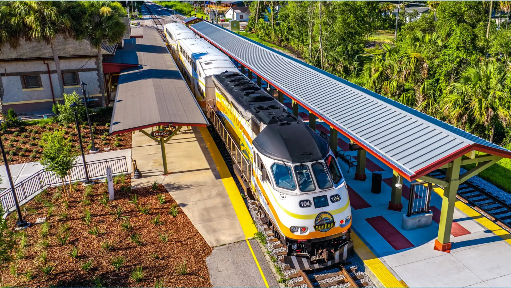
By unanimous vote, the proposed Sunshine Corridor study is now fully funded.
The best upgrades available for Disney Cruise Line Passengers.
Epic Universe is amazing…but it does have a couple of flaws.
Here are a couple of things you'll want to get yourself because every Disney Adult...
We spotted three brand-new Disney Loungefly bags online, and one of them is already selling...
Every Disney adult is going to Amazon to buy their Disney park day shoes!
Let's talk about why every Disney Adult is buying an Oura Ring from Target right...
Many Disney guests don't realize they're breaking these rules.
These might be weird buys, but we aren't kidding when we say you'll need them...
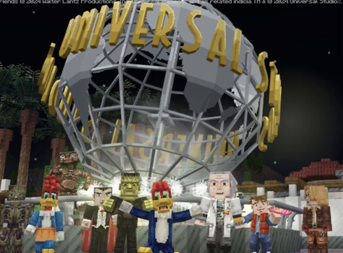
A Universal x Minecraft experience is HERE!